

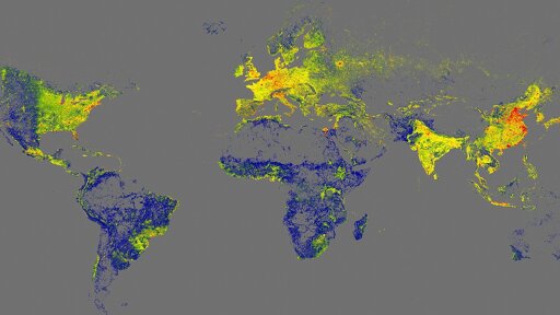
With the GlobalBuildingAtlas, a research team at the Technical University of Munich (TUM) has created the first high-resolution 3D map of all buildings worldwide. The open data provides a crucial basis for climate research and the implementation of the UN Sustainable Development Goals. They enable more precise models for urbanization, infrastructure and disaster management – and help to make cities around the world more inclusive and resilient.
You must log in or # to comment.
We utilized building footprint datasets from various sources (see Table 2), including OSM (OpenStreetMap contributors, 2025), Google Open buildings (Google Research, 2023), Microsoft Building Footprints (Microsoft, 2024), and CLSM (Shi et al., 2024). Since none of the above-mentioned footprints is complete, we also generated our own global building polygons from an updated version of GlobalBuildingMap (Zhu et al., 2024),
As I’m a frequent OSM contributor, I’m familiar with those other datasets, and they are shit. Just zoom in any river or lake near a city and you will find houses in the water, clearly grid based building are nicely dancing around, etc. The demoed areas are from OSM, and mostly drawn manually, you can see them on a lot other sources without the low quality AI gen contours, e.g.:
Edit: I read it through, and the actual research is they acquired building height data, and added it to the already existing datasets:

All the aforementioned datasets are mostly 2d. OSM has some building height data.
And their point is not to have a detailed and end user friendly dataset, just a global one,
And their point is not to have a detailed and end user friendly dataset, just a global one,
Just want to stack up on this. I deal with building footprint data all the time and what I can positively say is that you get what you pay for.
The MS building footprint layer is crap. But at least it exists.
Yes the headline is clickbait and misleading, this data is not usable for anything to us mortals, it’s for researchers who need very low quality data but for global calculations.
Yeah I’m very certain I’m going to get a very annoying “why are we still paying for building footprints” slack message citing this as soon as it dribbles out to the normies.
Come back when you have building content data.
No, wait…
